In order to collect data about what lies at the depth of the soil, core samples are taken from there. If on
GPR makes the analysis much easier and faster.
It can determine the colors of the soil layer, the mineral content or moisture content with the help of the length of the microwave radiation reflected from the layer will be. Based on this data, the reflected radiation can be calibrated to recognize the primary colors - red, blue and green and on this basis translate the reflected radiation data into something understandable to the human eye color picture.
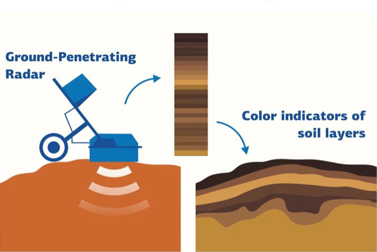
To check the development,The researchers tried GPR scanning at seven sites in the Kamennaya Steppe Nature Reserve: the researchers took 30 core samples from each site at a depth of 10 cm to 3 m, and then compared the data obtained by the radar method with real samples to calibrate the radar.
The accuracy of soil color determination by georadar was 80% and can be improved in the future. Next, scientists want to connect AI to the analysis process to speed up processing.
Read more
AI solved the Schrödinger equation
Abortion and science: what will happen to the children who will give birth
"Study failed": Sputnik V testers will no longer receive placebo