Scientists have been mapping the bottom of Lake Mjesa in Norway using high-altitude sonar
The wreckage of the ship is located at a depth of about 411 m, not far from the center of the lake. Due to the location of the ancient shipwreck, researchers believe that it sank during a storm.
 Sunken ship on sonar data. Image: FFI/NTNU
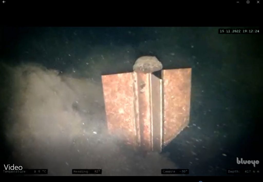
Researchers don't yet know when it happened.shipwreck, and use external signs to evaluate the find. For example, signs of corrosion of metal parts indicate that the ship has lain at the bottom of the lake for several centuries. At the same time, the presence of a central rudder in the stern indicates that the ship was built no earlier than 1300, since such elements began to be used only at the end of the 13th century.
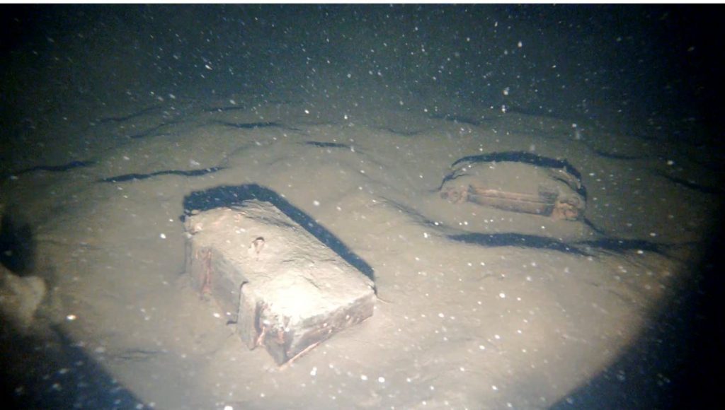
Underwater survey data of the sunken ship. Image: FFI/NTNU
Scientists also note that the ship was built withusing Scandinavian technology, in which the boards of the hull are superimposed on each other. This method was used during the Viking Age to make a ship lighter and stronger, and is known as clinker building.
During the Viking Age, Lake Mjesa served as a majortrade route. Therefore, the researchers hope that further analysis and mapping of its bottom will make it possible to find new shipwrecks and learn more about the maritime past of the ancient inhabitants of Scandinavia.
Read more:
Hydrogen energy, material against cold weather and bioadditives against COVID-19: what scientists are creating in the North
10 scientific facts that turned out to be fakes. Cards
Unusual decoration in an ancient grave surprised scientists
On the cover: Artistic illustration of a sunken shipwreck