Every six months, NASA's Near-Earth Object Investigation, or NEOWISE, spacecraft
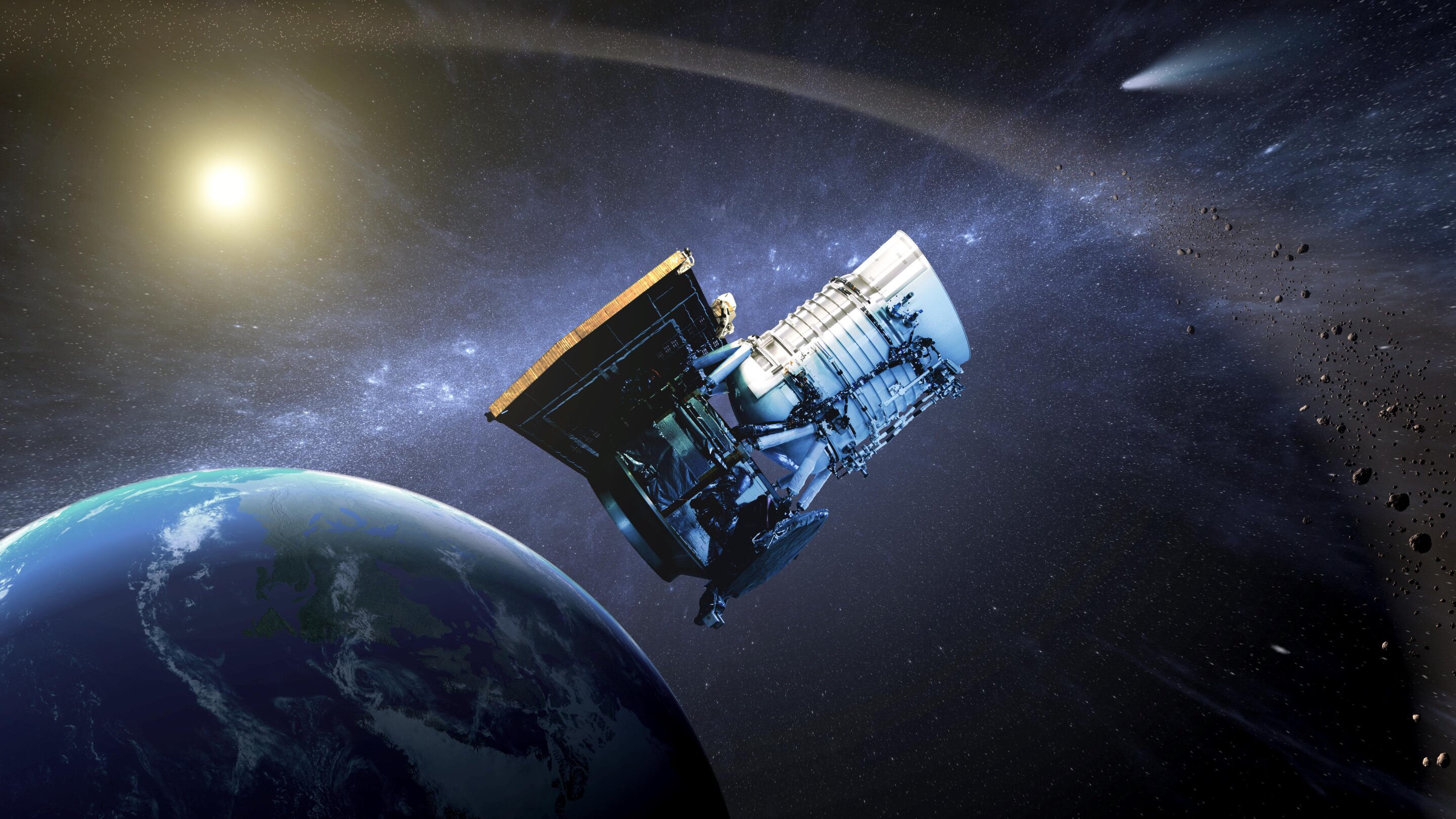
Image Credit & Copyright: NASA/JPL-Caltech
Using 18 sky maps created by the cosmicship (the 19th and 20th will be released in March 2023), scientists created a time-lapse image of the sky. It shows the changes that have taken place over the last decade.
Each map is a huge resource for astronomers,but when viewed sequentially as a time-lapse, they serve even more usefully to better understand the Universe. Comparing maps helps detect distant objects that have changed position or brightness over time.
Wide-field Infrared Survey spacecraftExplorer (WISE) operates in Earth orbit. The WISE mission ended in 2011, but in 2013 the ship was repurposed to search for and study asteroids and other near-Earth objects (NEOs). The mission itself and the spacecraft were renamed NEOWISE.
Read more:
NASA revealed the origin of Haumea - the most mysterious planet in the solar system
Living organisms have made Mars uninhabitable
The liver can work for more than 100 years: scientists told how this is possible