Artificial intelligence analyzed 11.5 billion satellite images to create a map of Africa
According to Facebook engineers, manually createSuch maps are difficult, since specialists have to mark each building, then compare these data with information obtained from the census.
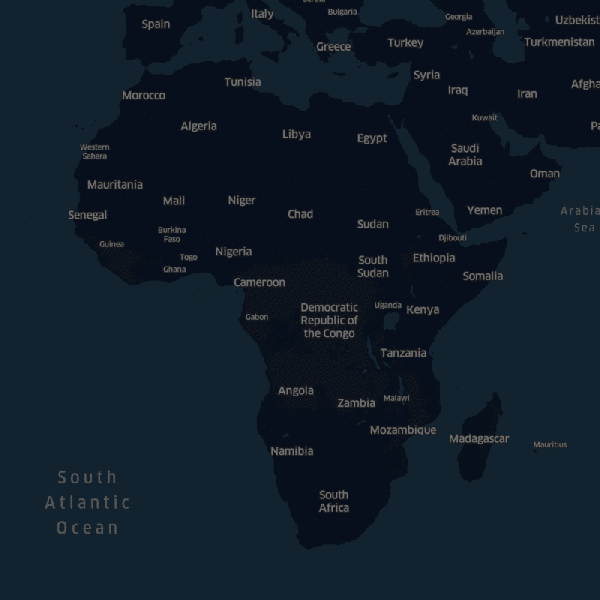
Artificial intelligence analyzed data froman open map project Open Street Map, after which, using computer vision, recognized residential buildings on satellite maps and deleted areas from unoccupied territories.