Landsat-9 captured images of the ocean coast on the western edge of Florida and the arid terrain in the area
The new satellite was launched on September 27, but the firsthe took pictures only a month later. Landsat-9 will operate with its predecessor Landsat-8 and will replace the old Landsat-7 satellite, which has been in orbit since 1999.
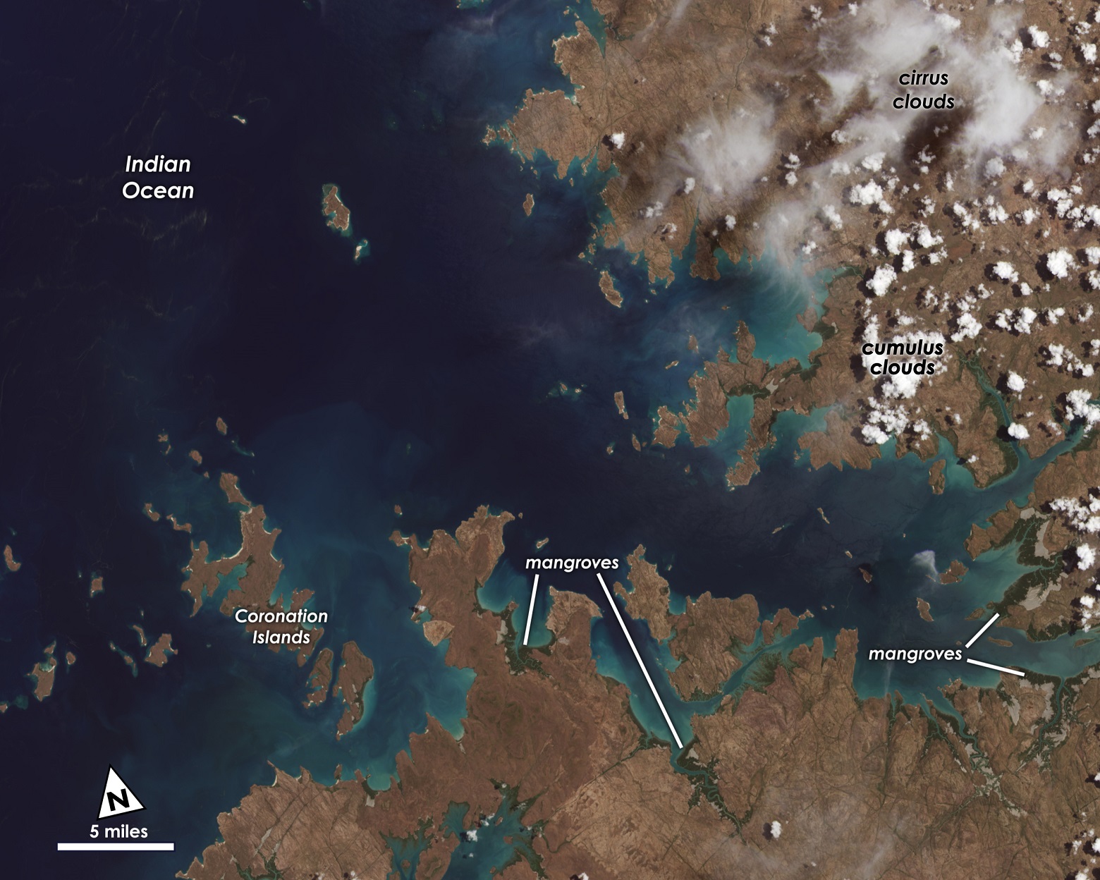

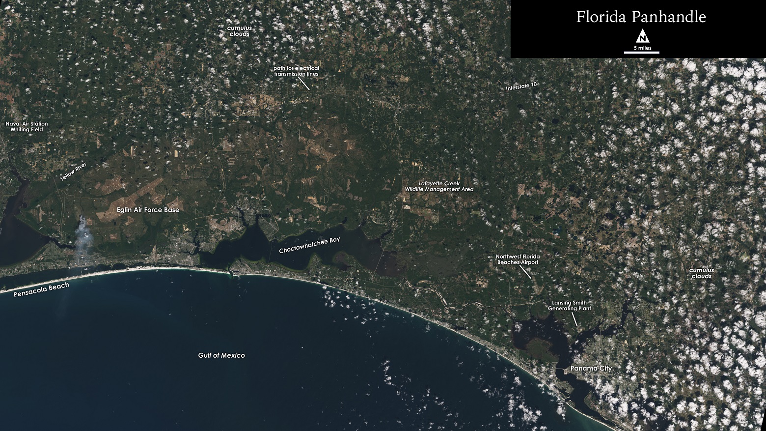
Landsat-9 differs from the old generation devicesthe ability to distinguish more than 16 thousand light shades. For comparison, the Landsat-7 palette includes only 256 colors. Also, a modern satellite is equipped with sensors that measure thermal radiation and infrared radiation. This will help keep track of changes in the earth's surface temperature.
NASA is currently testing the systemssatellite, which will end in January. After that, the space agency plans to transfer the project to the USGS. She, in turn, will publish new photos on her website.

Astronomers discover fluorine in a star-forming galaxy for the first time
Article tag…