A map covering 86% of the Red Planet's surface shows the distribution of dozens of key minerals.
The first part of the new map consists of 51,000images, each of which represents a “strip” 540 km long and 10 km wide. Over the next six months, new data will be released, concluding one of the most detailed studies of the Martian surface ever undertaken.
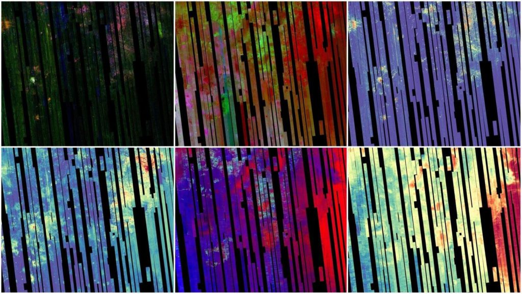 The picture shows six images of the Nili areaFossae on Mars, taken by the Compact Reconnaissance Imaging Spectrometer for Mars, or CRISM, one of the instruments aboard NASA's Mars Reconnaissance Orbiter. Credit: NASA/JPL-Caltech/JHU-APL
Mars Reconnaissance OrbiterNASA, or MRO, has been mapping minerals on the Red Planet for 16 years using the Compact Reconnaissance Spectrometer, or CRISM.
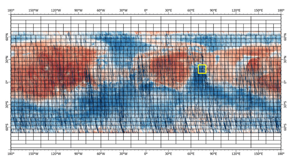 This almost global map was obtained by spaceby the Mars Reconnaissance Orbiter using CRISM. The yellow square indicates the Nili Fossae region on Mars, which is highlighted in the six images in the previous image. Credit: NASA/JPL-Caltech/JHU-APL. View in full resolution at the link
Using detectors that observe visibleand infrared wavelengths, the CRISM team has previously created high-resolution mineral maps that document the formation of the Martian crust and where and how water altered it in the past. These maps have been critical to learning how lakes, streams and groundwater shaped the planet billions of years ago. NASA has also used CRISM maps to select landing sites for other spacecraft, as in the case of Jezero Crater, where NASA's Perseverance rover is exploring an ancient river delta.
Read more:
Scientists uncover how vitamins affect the incidence of cancer
The space probe flew 200 km from Mercury. Look what he saw
The satellite of Jupiter was looked at in a new light: what scientists saw there