The Korea Aerospace Research Institute posted on its Twitter photos taken by the first
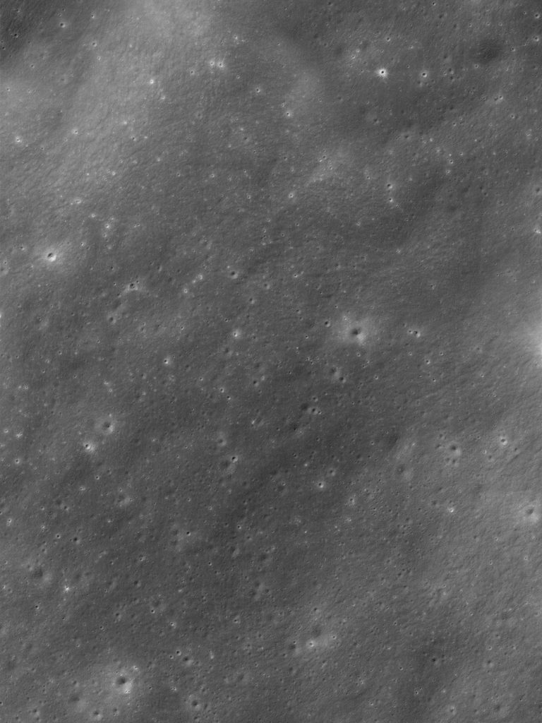
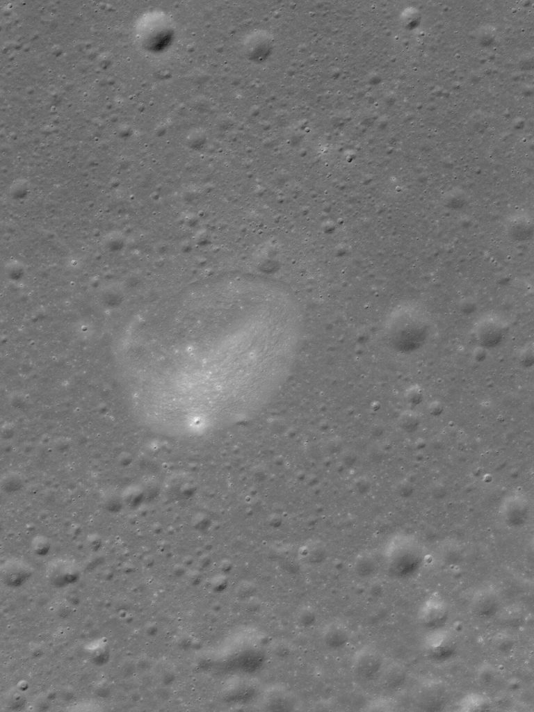
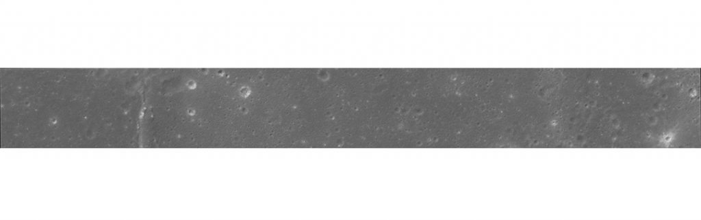 Top row: Reita Valley (left) and the Sea of Rains (right). In the bottom row is a panoramic shot of a site in the Ocean of Storms. Images: KARI
In addition, "Danuri" for several daysphotographed the phases of our planet. Observers from the Earth can see a gradual change in the illuminated part of the Moon - its phase. They change from new moon to full moon and back. Similarly, an observer on a satellite sees a change in the illumination of the Earth. The shape of the illuminated surface changes gradually and cyclically with the same period of 29.5 days. At the same time, on the days of the new moon, the “full” Earth is visible on the satellite, and on the days of the full moon, the Earth from the Moon, on the contrary, is almost invisible.
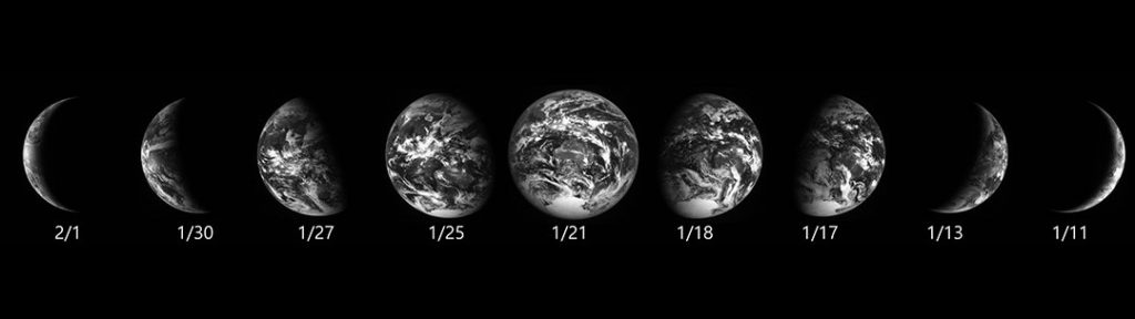 Phases of the Earth taken by the Danuri satellite. Image: KARI
Danuri is the first lunar orbital satellitedeveloped in South Korea. The name of the program consists of two Korean words “dal”, which means “moon” and “nuri” - “delight”. The satellite was launched on August 4 last year aboard a SpaceX Falcon 9 rocket. To save fuel, it moved not in a straight line like NASA's Orion spacecraft, but in a ballistic, low-cost transfer orbit, and only entered a working orbit 100 km above the lunar surface in December last year.
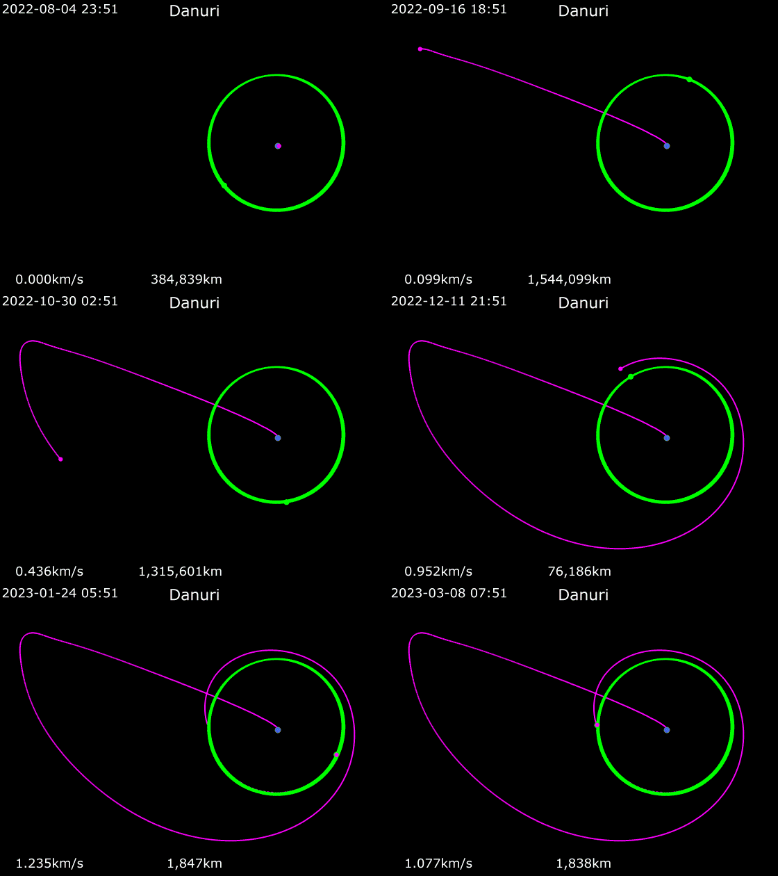 A low-cost transitional trajectory thatthe Danuri satellite was moving. At the first stage, it moves away from the Earth in the direction of the Lagrange point located between the Earth and the Sun, then uses the gravity of objects to reach the desired target. Animation: Phoenix7777, CC BY-SA 4.0, via Wikimedia Commons
KPLO is equipped with several researchtools developed in South Korea and NASA's ShadowCam camera for capturing permanently shadowed regions. The spacecraft's own research instruments are designed to study the Moon's magnetic field, the external and chemical properties of the regolith, and select a landing site for a future satellite mission.
Previously, Hi-Tech showed the first photographs of the Earth from the orbit of the Moon, taken by the ship's own cameras, and a test image of the inner surface of the Shackleton crater with the ShadowCam camera.
Read more:
Remains of 'delicacy' meal found in Neanderthal cave
Substance from the "grandfather's beard" improves memory and neuronal growth
It turned out that the drug for arthritis "reverses aging" and rejuvenates the body
On the cover: an artistic illustration of the Danuri satellite near the Moon. Image: KARI