The researchers explained that predicting volcanic eruptions is very difficult, since each volcano
Their idea is based on the fact that when underwatervolcanoes erupt, gases and compounds emitted by them affect the composition of the surrounding water. For example, iron-rich water looks yellowish or brown, while aluminum and silicon make the water white. The problem was the systematic application of this information to make predictions. It is not easy to accurately measure these color changes.
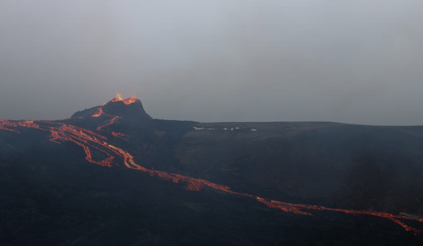
See Icelandic volcano activity from space
The key forecasting tool issatellite of the Japan Space Agency (JAXA) "Global Change Observation Mission - Climate" (GCOM-C). GCOM-C observes the ocean every 2-3 days at a resolution of 250 meters, giving scientists reliable data on the color change of the water. By combining GCOM-C imagery with eruption information from the Himawari-8 geostationary weather satellite, scientists were able to use the data and predict volcanic activity a month before it occurred.
One of the main research breakthroughs is the wayaccurate color measurement despite bright sunlight, which can distort its visible color. Scientists turned to other areas of research to find a solution - they developed a filter to combat distortion.
Read more
Data from spy satellites helped to find out the cause of melting glaciers in Asia
New nanofiber quickly converts seawater into drinking water
A resident of Turkey accidentally found traces of an unknown civilization in the courtyard of the house