A few days ago, a drone of the DJI series of industrial solutions, the Phantom 4 RTK, was presented.This drone
What makes this drone different from others?
This is a new drone, a tool for professionals, created in the shell of a commercial device, features positioning accuracy and the ability to snap the centers of photos with subdecimeter accuracy
Why is it important?
This is necessary for industrial workin geodesy and topography, mining industry. Previously, it was necessary to take reference coordinates to realign orthomosaics, but now you don’t have to do this
What will change?
The speed of work increases 4 times; previously, the greatest amount of time was spent on tying, rather than flying
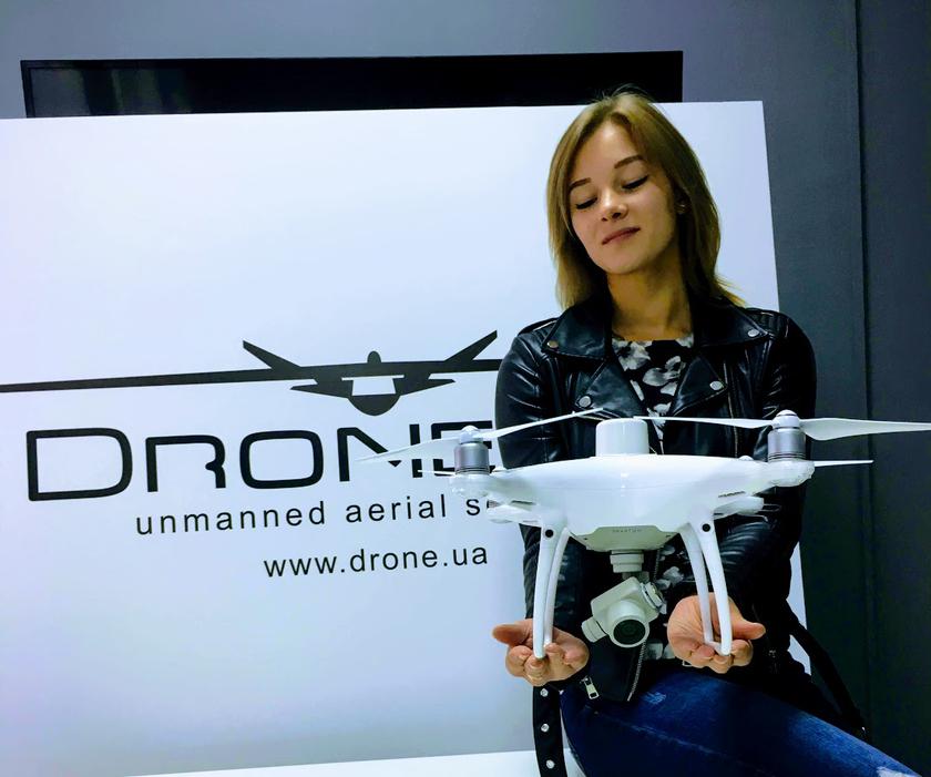
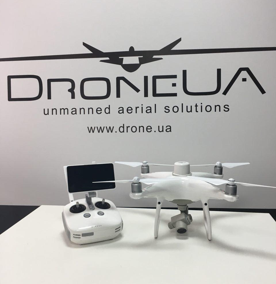
Today, DroneUA will share with you what is in the Phantom 4 RTK package. In Ukraine, this drone appeared one of the first in the world.
The drone comes in 2 configurations, Phantom 4 RTK and Phantom 4 RTK Combo at a price5700 and 7800 eurosrespectively. The simple version differs from the standard version by having its own base station, which allows you to work without connecting to a third-party RTK network or using the TimeSync function
The base station can be purchased separately at a price3600 Euro
About technology
The usual GPS signal floats in a radius of 1-2 meterseven modern GPS receivers and navigators. RTK (Real Time Kinematic) technology can make the process of obtaining coordinates more accurate. In this case, 2 antennas, mobile and stationary, are used, which receive the same positioning signal. In this case, the stationary realizing its constant coordinate generates an amendment to the GPS signal of the neighboring mobile antenna. There can be a lot of such mobile and stationary antennas (base station) and they are integrated into the RTK network, which constantly calculates corrections for large areas. There are national RTK networks in Ukraine, which consist of more than 200 mobile and fixed stations.
The drone can become part of such a network and receive corrections from the nearest base station
TimeSync is a process when you tighten the base station amendment for a drone after overflights, but with a clear understanding of when the overflight was performed.
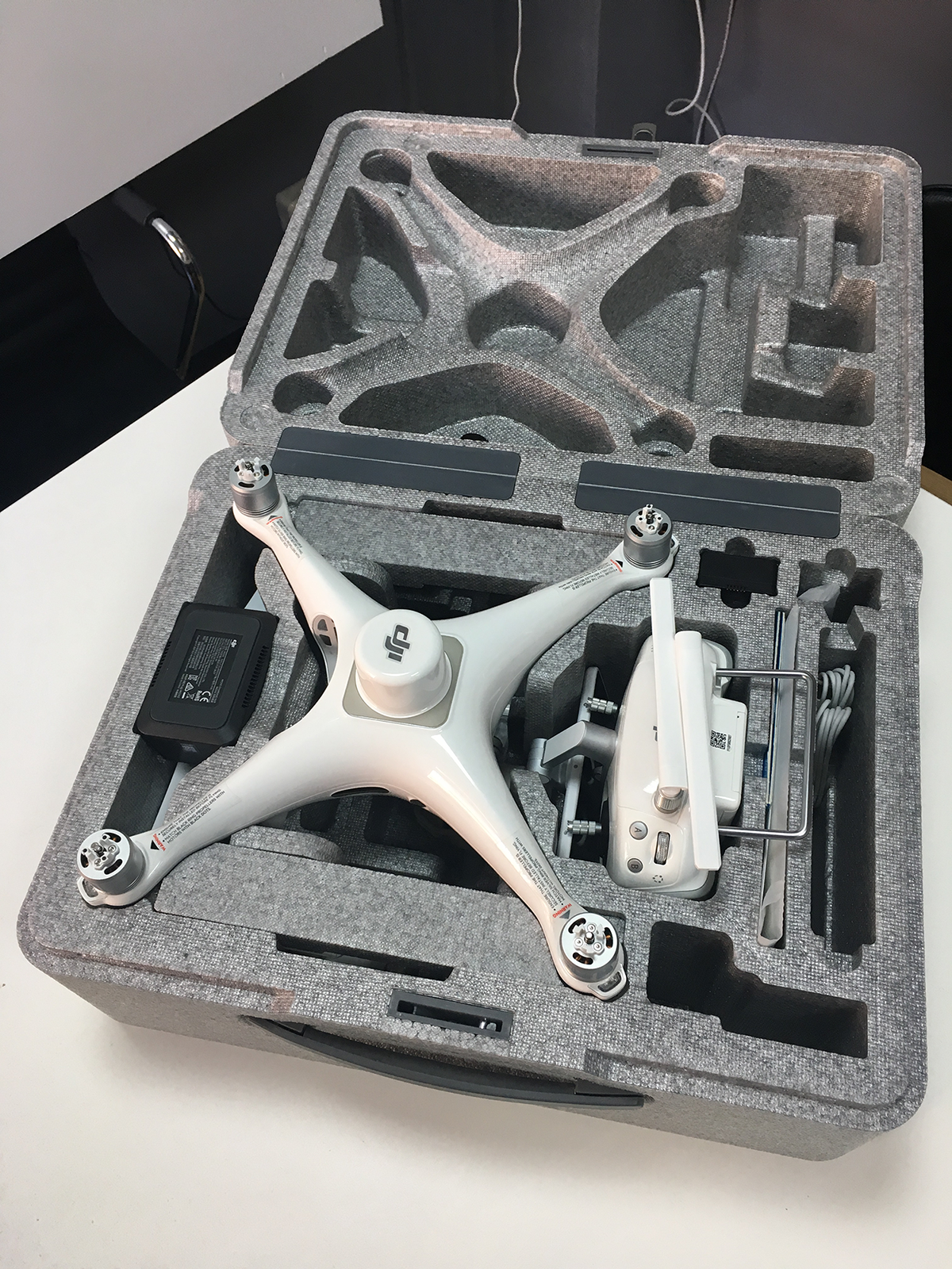
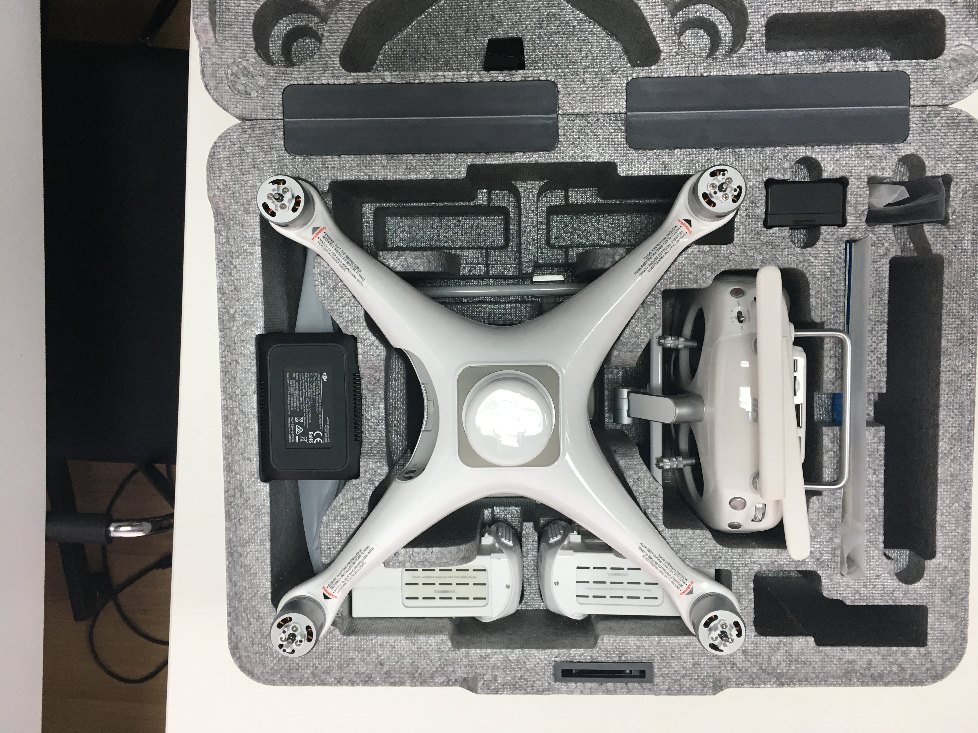
The drone comes in a foam case, like the usual phantoms, but the RTK case is much wider.

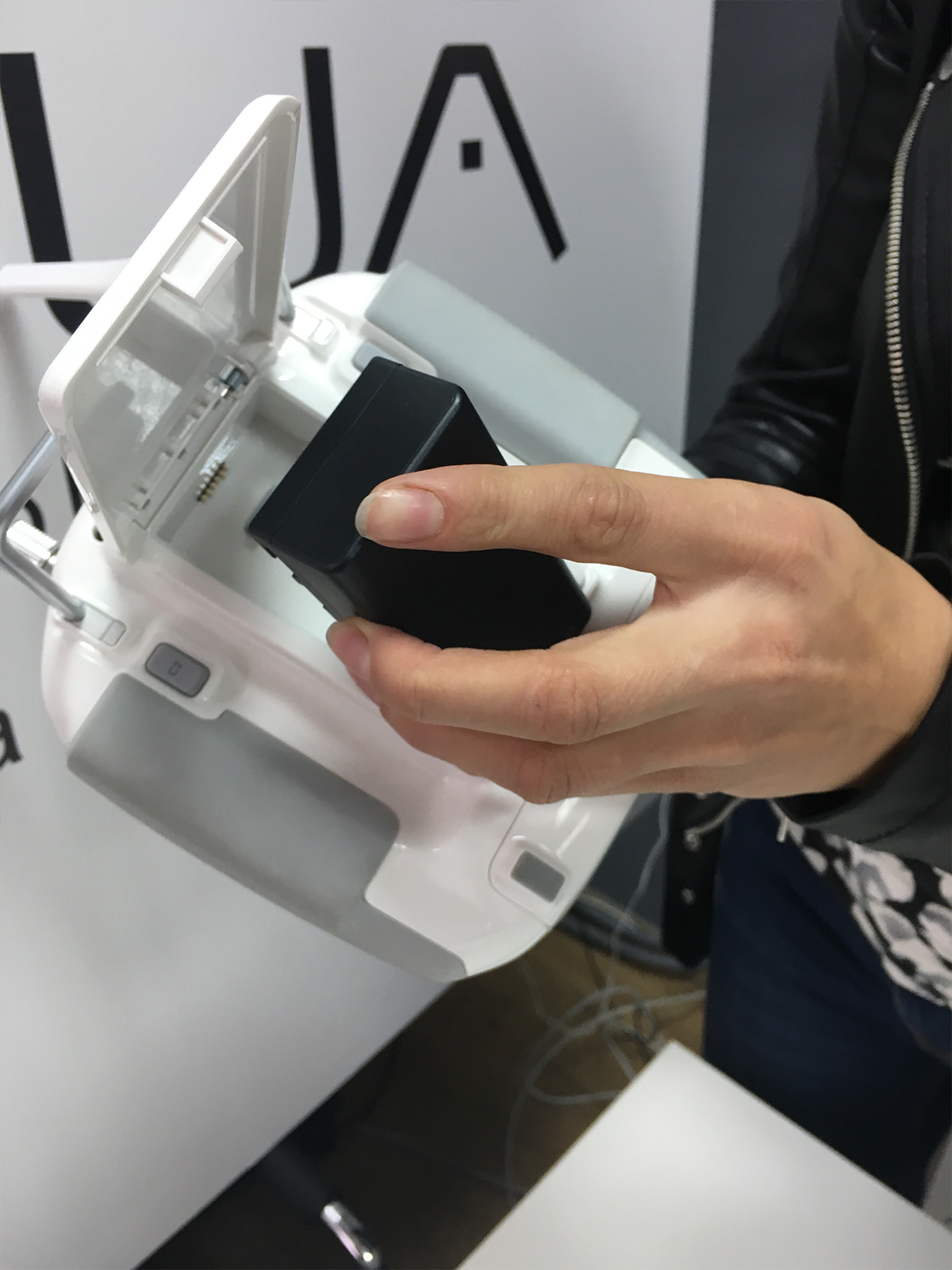
In the basic configuration, the drone is immediately equipped with 2 DJI Phantom-enhanced batteries and 2 batteries for the remote. Comes with 2 chargers, one for each type of battery.

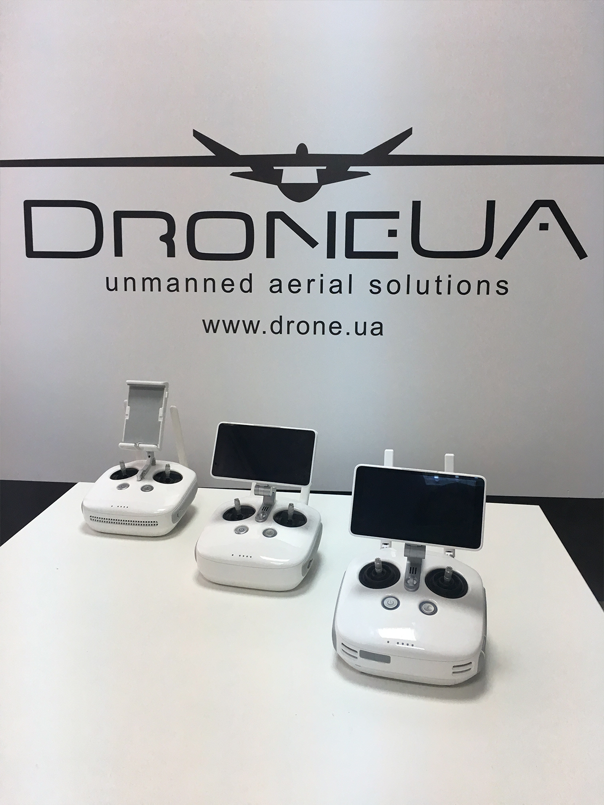
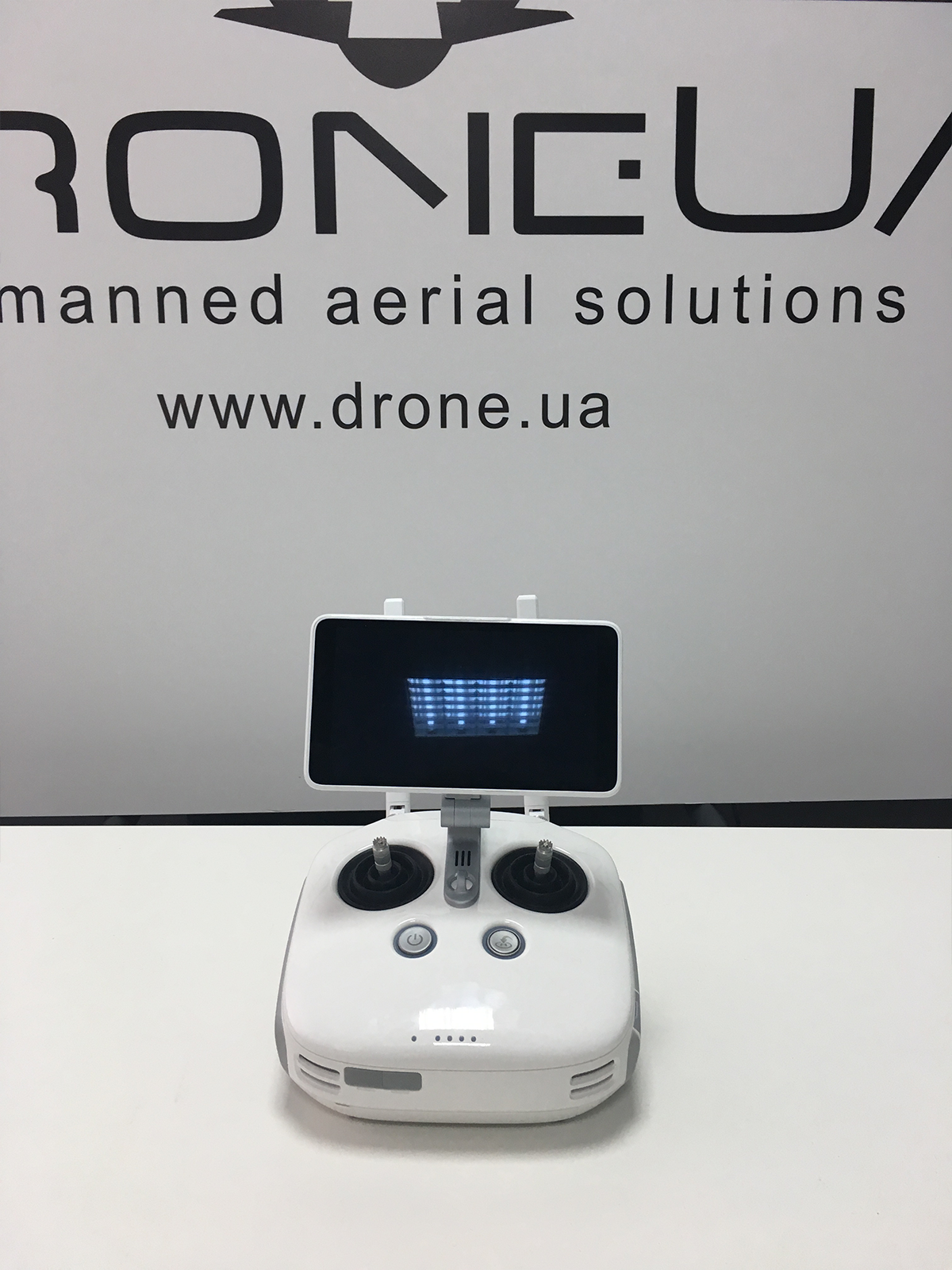
The drone's console is different from the one to which weused in the 4th series of phantoms, this is a remote from Agras MG-1S, with a special firmware for Phantom 4 RTK. This is due to the fact that the use of RTK technology was widespread in drones sprayers from DJI. A GSM modem is installed in the console, with a SIM card of the operator that suits you. Thus, you get the opportunity to connect to the RTK network not only via WiFI, but also using 3G or LTE mobile communication. Since drones operate at WiFi frequencies, connecting to the Internet through the same frequencies is fraught with packet loss and even the entire connection, in the case of an additional mobile channel, you get a stable connection regardless of what interference the drone creates at WiFI frequencies
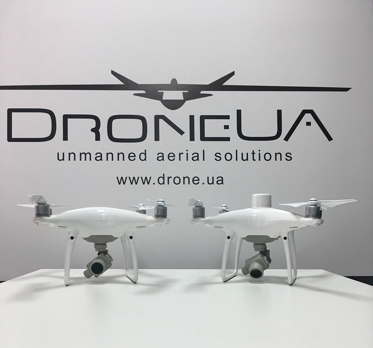
Phantom 4 RTK and Phantom 4 PRO differ among themselves only by the additional RTK antenna installed above the duplicate GNSS receiver.
Conclusion, this is the most affordable solution for surveyors topographers on the market in the configuration, which is ready to work immediately.